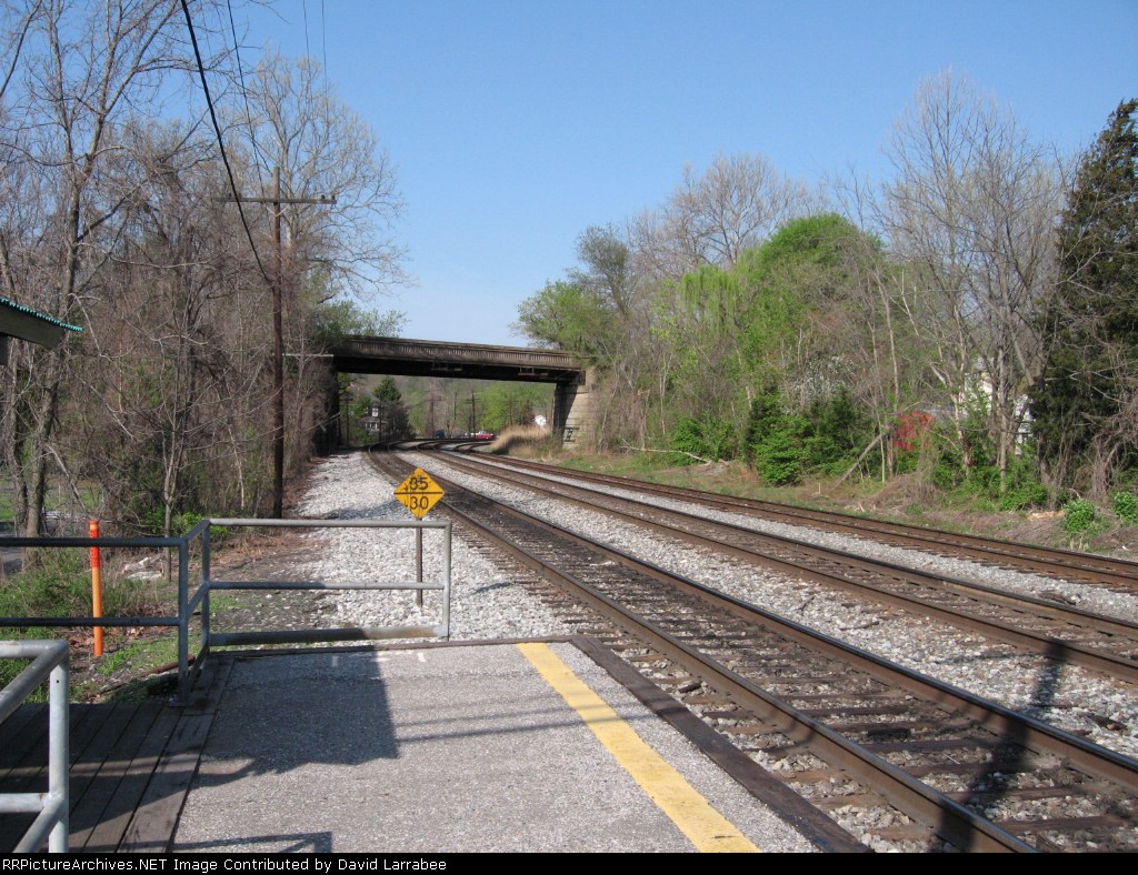
| These photos are taken from the MARC northbound (eastbound in CSXeze) platform. The two tracks in the foreground are the main to Washington. The 3rd track is the origional B&O Old Main Sub to Point of Rocks. This track diverges just beyond the S curve beyond the overpass. |
| Date:
4/15/2006 |
Location:
Saint Denis, MD Map  |
Views:
121 |
Collection Of:
  David Larrabee
 |
|
Author: David Larrabee
|
 |
| Picture Categories: |
This picture is part of album: St. Denis, Maryland |