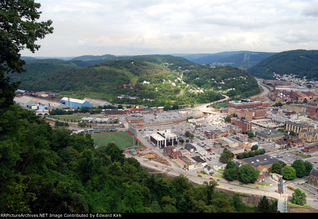
| Most of the area in the picture was inundated by the historic flood. Note the Cambria steel plant on the center right edge (buildongs witc multiple smoke stacks); the PRR Stone arch bridge (left edge near trees under the blue tank) which was site of horrific debris fire. Picture taken from inclined plane viewing platform. |
| Date:
8/20/2013 |
Location:
Johnstown, PA Map  |
Views:
157 |
Collection Of:
  Edward Kirk
 |
|
Author: Edward Kirk
|
 |
| Picture Categories: Scenic,Action |
This picture is part of album: Trip To Cresson Pa |